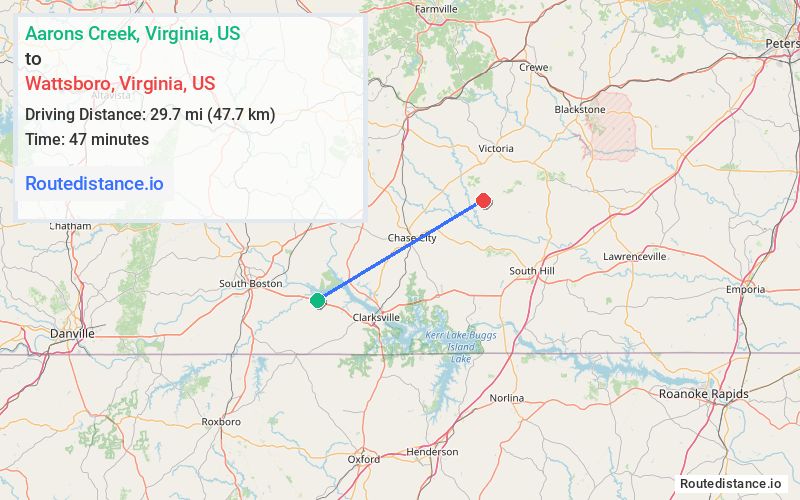
Distance from Aarons Creek, Virginia to Wattsboro, Virginia
The driving distance from Aarons Creek, Virginia to Wattsboro, Virginia is 43.9 mi (70.7 km)
The straight-line (air) distance is approximately 18.4 mi (29.7 km)
Estimated travel time by road is 50 minutes
We found 3 routes between Aarons Creek and Wattsboro.
Available Routes
Route Directions
Take US-58 E and State Rte 660 to State Rte 634/Traffic Rd in Mecklenburg County
Follow Traffic Rd to Wallace's Bridge Rd in Lunenburg County
Route Directions
Take US-58 E to State Rte 701 in Mecklenburg County
Continue on State Rte 701. Take State Rte 689 to VA-92/S Main St
Take VA-47 S to State Rte 634/Traffic Rd
Follow Traffic Rd to Wallace's Bridge Rd in Lunenburg County
Route Directions
Take US-58 E and VA-49 N to State Rte 634/Traffic Rd in Mecklenburg County
Follow Traffic Rd to Wallace's Bridge Rd in Lunenburg County
Journey Details
Traveling from Aarons Creek, Virginia to Wattsboro, Virginia covers 40.8 miles (66 km) in a northeast direction. This mixed highways and local roads, moderate route typically takes 48 minutes under normal conditions.
Drivers have 3 route options between these locations (41-44 miles / 66-71 km). The primary route shown here saves 4 minutes compared to alternatives.
Journey Waypoints
Aarons Creek
Starting Point
Wattsboro
Destination
Route Map Image