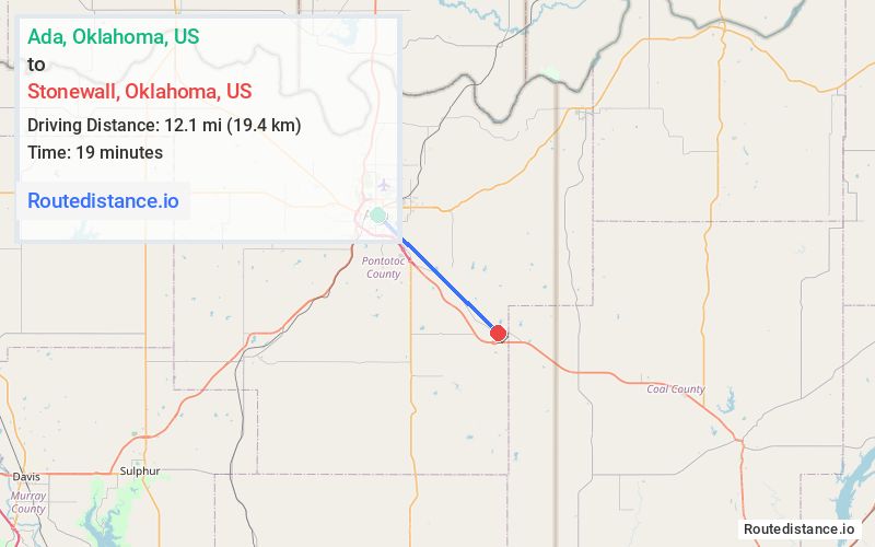
Distance from Ada, Oklahoma to Stonewall, Oklahoma
The driving distance from Ada, Oklahoma to Stonewall, Oklahoma is 16.1 mi (25.9 km)
The straight-line (air) distance is approximately 7.5 mi (12.1 km)
Estimated travel time by road is 24 minutes
We found 2 routes between Ada and Stonewall.
Available Routes
Route Directions
Take OK-1 E, Lovelady Rd, N361 Rd/N3610 Rd and County Rd 3 Dr/Old Hwy 3 to S Broadway in Stonewall
Route Directions
Get on State Hwy 3 E/US-377 S from Cradduck Rd
Continue on E1630 Rd. Drive to S Broadway in Stonewall
Journey Details
Traveling from Ada, Oklahoma to Stonewall, Oklahoma covers 13.3 miles (21 km) in a southeast direction. This mixed highways and local roads, moderate route typically takes 17 minutes under normal conditions.
Drivers have 2 route options between these locations (13-16 miles / 21-26 km). The primary route shown here saves 7 minutes compared to alternatives.
The route features scenic views. During morning weekday travel, expect morning rush hour with average speeds around 48 mph (77 km/h) .
Journey Waypoints
Ada
Starting Point
Stonewall
Destination
Route Map Image