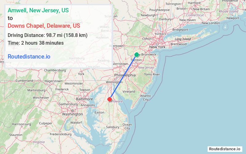
Distance from Amwell, New Jersey to Downs Chapel, Delaware
The driving distance from Amwell, New Jersey to Downs Chapel, Delaware is 123.4 mi (198.6 km)
The straight-line (air) distance is approximately 61.3 mi (98.7 km)
Estimated travel time by road is 2 hours 23 minutes
We found 3 routes between Amwell and Downs Chapel.
Available Routes
Route Directions
Get on I-295 W in Lower Makefield Township from Spring Hill Rd, Lambertville - Hopewell Rd, Harbourton Rocktown Rd, Trenton Harbourton Rd and Taylorsville Rd
Continue on I-295 W. Take I-95 S to Lorewood Grove Rd in New Castle County. Take exit 148 from DE-1 S
Follow US-13 S and DE-300 W to Rd 97/Downs Chapel Rd in Kent County
Route Directions
Get on I-295 S in Lawrence Township from Spring Hill Rd, Province Line Rd, Carter Rd and Princeton Pike
Continue on I-295 S. Take NJ Tpke S, I-295 S and DE-1 S to US-13 S in New Castle County. Take exit 119A from DE-1 S
Take DE-300 W to Rd 97/Downs Chapel Rd in Kent County
Route Directions
Get on I-295 N in Mercer County from Spring Hill Rd, Pennington - Hopewell Rd and NJ-31 S
Follow I-295 N, I-95 S and DE-1 S to US-13 S in New Castle County. Take exit 119A from DE-1 S
Take DE-300 W to Rd 97/Downs Chapel Rd in Kent County
Journey Details
Traveling from Amwell, New Jersey to Downs Chapel, Delaware covers 122.1 miles (196 km) in a southwest direction. This mixed highways and local roads, substantial route typically takes 2 hours 11 minutes under normal conditions.
Drivers have 3 route options between these locations (122-129 miles / 196-207 km). The primary route shown here saves 13 minutes compared to alternatives.
The route features scenic views, toll sections. During night weekday travel, expect minimal traffic congestion with average speeds around 53 mph (85 km/h) .
Journey Waypoints
Amwell
Starting Point
Downs Chapel
Destination
Route Map Image