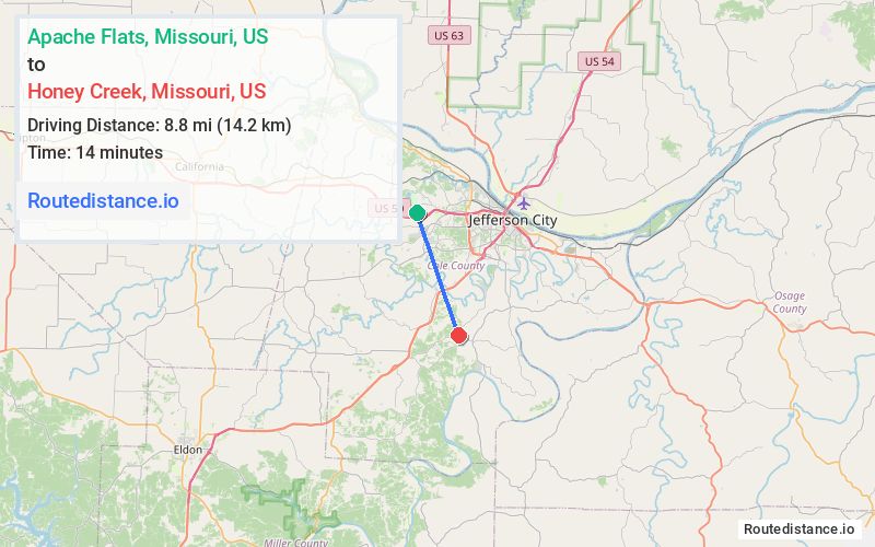
Distance from Apache Flats, Missouri to Honey Creek, Missouri
The driving distance from Apache Flats, Missouri to Honey Creek, Missouri is 16.5 mi (26.6 km)
The straight-line (air) distance is approximately 5.5 mi (8.8 km)
Estimated travel time by road is 19 minutes
We found 3 routes between Apache Flats and Honey Creek.
Available Routes
Route Directions
Follow US-50 E, MO-179 S and US-54 W to Honey Creek Rd in Clark Township
Route Directions
Follow US-50 E and MO-179 S to State Hwy B in Jefferson City
Follow State Hwy B and Tanner Bridge Rd to Honey Creek Rd in Osage Township
Route Directions
Take Big Horn Dr, County Park Rd and Rock Ridge Rd to Rte CC in Jefferson City
Continue on US-54 W. Drive to Honey Creek Rd in Osage Township
Journey Details
Traveling from Apache Flats, Missouri to Honey Creek, Missouri covers 15.4 miles (25 km) in a southeast direction. This secondary roads, moderate route typically takes 22 minutes under normal conditions.
Drivers have 3 route options between these locations (15-17 miles / 25-27 km). The primary route shown here saves no time compared to alternatives.
The route features scenic views. During night weekday travel, expect minimal traffic congestion with average speeds around 40 mph (64 km/h) .
Journey Waypoints
Apache Flats
Starting Point
Honey Creek
Destination
Route Map Image