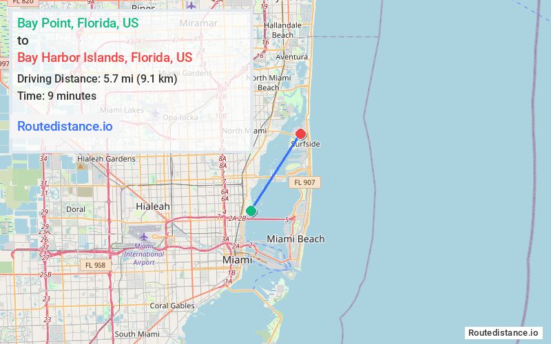
Distance from Bay Point, Florida to Bay Harbor Islands, Florida
The driving distance from Bay Point, Florida to Bay Harbor Islands, Florida is 9.3 mi (14.9 km)
The straight-line (air) distance is approximately 3.5 mi (5.7 km)
Estimated travel time by road is 28 minutes
This route includes Toll roads along the way.
We found 2 routes between Bay Point and Bay Harbor Islands.
Available Routes
Route Directions
Take Sabal Palm Rd, Palm Ln and Island Rd to Biscayne Blvd
Take NE 54th St to N Miami Ave
Continue on N Miami Ave to Miami Shores
Route Directions
Take Sabal Palm Rd, Palm Ln and Island Rd to Biscayne Blvd
Drive to FL-922 E in Bay Harbor Islands
Journey Details
Traveling from Bay Point, Florida to Bay Harbor Islands, Florida covers 8 miles (13 km) in a northeast direction. This local streets, short route typically takes 23 minutes under normal conditions.
Drivers have 2 route options between these locations (8-9 miles / 13-15 km). The primary route shown here saves 6 minutes compared to alternatives.
The route features scenic views, toll sections. During evening weekend travel, expect typical weekend traffic patterns with average speeds around 20 mph (32 km/h) .
Journey Waypoints
Bay Point
Starting Point
Bay Harbor Islands
Destination
Route Map Image