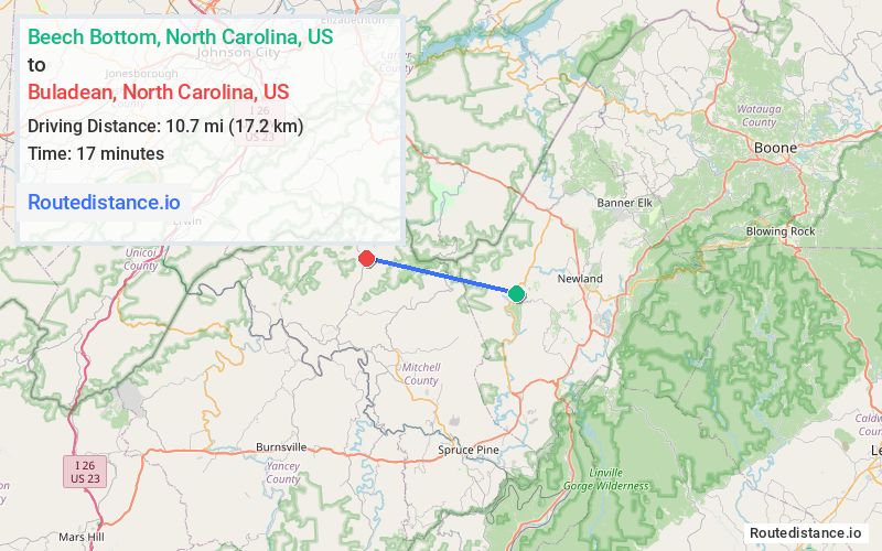
Distance from Beech Bottom, North Carolina to Buladean, North Carolina
The driving distance from Beech Bottom, North Carolina to Buladean, North Carolina is 37.1 mi (59.7 km)
The straight-line (air) distance is approximately 6.6 mi (10.7 km)
Estimated travel time by road is 54 minutes
We found 3 routes between Beech Bottom and Buladean.
Available Routes
Route Directions
Route Directions
Route Directions
Take NC-194 N, US-19E W and TN-143 S to Cove Creek Rd in Carter County
Take Hughes Gap Rd to NC-226 S in Mitchell County
Journey Details
Traveling from Beech Bottom, North Carolina to Buladean, North Carolina covers 33.4 miles (54 km) in a west direction. This secondary roads, moderate route typically takes 55 minutes under normal conditions.
Drivers have 3 route options between these locations (33-46 miles / 54-75 km). The primary route shown here saves 10 minutes compared to alternatives.
The route features scenic views. During night weekday travel, expect minimal traffic congestion with average speeds around 38 mph (61 km/h) .
Journey Waypoints
Beech Bottom
Starting Point
Buladean
Destination
Route Map Image