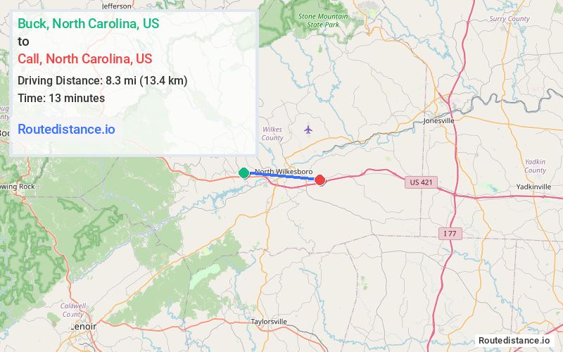
Distance from Buck, North Carolina to Call, North Carolina
The driving distance from Buck, North Carolina to Call, North Carolina is 10.2 mi (16.4 km)
The straight-line (air) distance is approximately 5.2 mi (8.3 km)
Estimated travel time by road is 14 minutes
We found 3 routes between Buck and Call.
Available Routes
Route Directions
Follow Congo Rd and Winkler Mill Rd to US-421 S in Wilkesboro
Continue on US-421 S. Drive to Old US 421 Rd/Speedway Rd
Route Directions
Take Congo Rd to Boone Trail/Old Nc 16 Rd in Cricket
Continue on Boone Trail to North Wilkesboro
Drive to Old US 421 Rd/Speedway Rd
Route Directions
Take Congo Rd and Winkler Mill Rd to US-421 S in Wilkesboro
Continue on US-421 S. Drive to Old US 421 Rd/Speedway Rd
Journey Details
Traveling from Buck, North Carolina to Call, North Carolina covers 10 miles (16 km) in a east direction. This mixed highways and local roads, short route typically takes 14 minutes under normal conditions.
Drivers have 3 route options between these locations (10-11 miles / 16-17 km). The primary route shown here saves 5 minutes compared to alternatives.
The route features scenic views. During midday weekday travel, expect lighter midday traffic with average speeds around 44 mph (71 km/h) .
Journey Waypoints
Buck
Starting Point
Call
Destination
Route Map Image