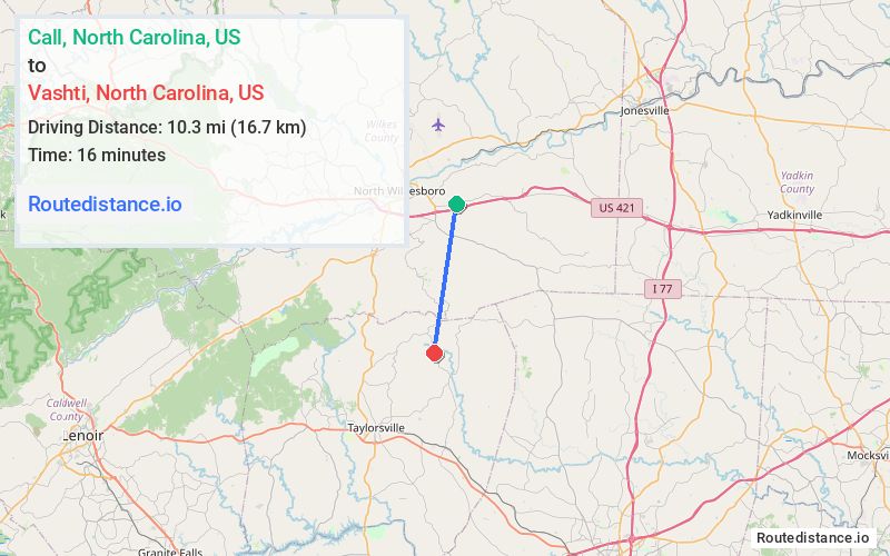
Distance from Call, North Carolina to Vashti, North Carolina
The driving distance from Call, North Carolina to Vashti, North Carolina is 24.3 mi (39.1 km)
The straight-line (air) distance is approximately 6.4 mi (10.4 km)
Estimated travel time by road is 29 minutes
We found 3 routes between Call and Vashti.
Available Routes
Route Directions
Get on US-421 N from Old US 421 Rd/Speedway Rd
Take NC-16 S to Vashti Rd in Alexander County
Follow Vashti Rd to Old Vashti Rd
Route Directions
Continue on NC-115 S. Take Linneys Mill Rd to Old Vashti Rd in Alexander County
Route Directions
Get on US-421 N from Old US 421 Rd/Speedway Rd
Take NC-16 S to Vashti Rd in Alexander County
Follow Vashti Rd and Daniels Ridge Rd to Old Vashti Rd
Journey Details
Traveling from Call, North Carolina to Vashti, North Carolina covers 23.1 miles (37 km) in a south direction. This mixed highways and local roads, moderate route typically takes 29 minutes under normal conditions.
Drivers have 3 route options between these locations (23-26 miles / 37-42 km). The primary route shown here saves 6 minutes compared to alternatives.
The route features scenic views. During evening weekend travel, expect typical weekend traffic patterns with average speeds around 46 mph (74 km/h) .
Journey Waypoints
Call
Starting Point
Vashti
Destination
Route Map Image