Distance from Camp Occoneechee, North Carolina to Saconon, North Carolina
The driving distance from Camp Occoneechee, North Carolina to Saconon, North Carolina is 34 mi (54.7 km)
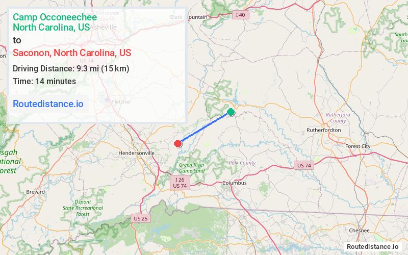
The straight-line (air) distance is approximately 5.8 mi (9.3 km)
Estimated travel time by road is 44 minutes
We found 2 routes between Camp Occoneechee and Saconon.
Available Routes
Route Directions
Take Girl Scout Cp Rd to NC-9 S in Lake Lure
Get on US-74 W
Continue on I-26 W/US-74 W to Henderson County. Take exit 53 from I-26 W/US-74 W
Take Upward Rd and Ridge Rd to your destination in Dana
Route Directions
Take Girl Scout Cp Rd to NC-9 S in Lake Lure
Get on I-26 W from Holbert Cove Rd
Continue on I-26 W. Take Upward Rd to Piney Mountain Rd in Dana
Take Stepp Mill Rd to your destination
Journey Details
Traveling from Camp Occoneechee, North Carolina to Saconon, North Carolina covers 32 miles (52 km) in a southwest direction. This secondary roads, moderate route typically takes 51 minutes under normal conditions.
Drivers have 2 route options between these locations (32-34 miles / 52-55 km). The primary route shown here saves no time compared to alternatives.
Journey Waypoints
Camp Occoneechee
Starting Point
Saconon
Destination
Route Map Image