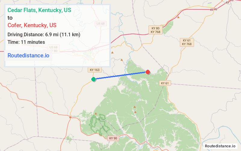
Distance from Cedar Flats, Kentucky to Cofer, Kentucky
The driving distance from Cedar Flats, Kentucky to Cofer, Kentucky is 12.2 mi (19.6 km)
The straight-line (air) distance is approximately 4.3 mi (6.9 km)
Estimated travel time by road is 17 minutes
We found 2 routes between Cedar Flats and Cofer.
Available Routes
Route Directions
Route Directions
Journey Details
Traveling from Cedar Flats, Kentucky to Cofer, Kentucky covers 10.4 miles (17 km) in a east direction. This mixed highways and local roads, short route typically takes 14 minutes under normal conditions.
Drivers have 2 route options between these locations (10-12 miles / 17-20 km). The primary route shown here saves 3 minutes compared to alternatives.
The route features scenic views. During morning weekday travel, expect morning rush hour with average speeds around 41 mph (66 km/h) .
Journey Waypoints
Cedar Flats
Starting Point
Cofer
Destination
Route Map Image