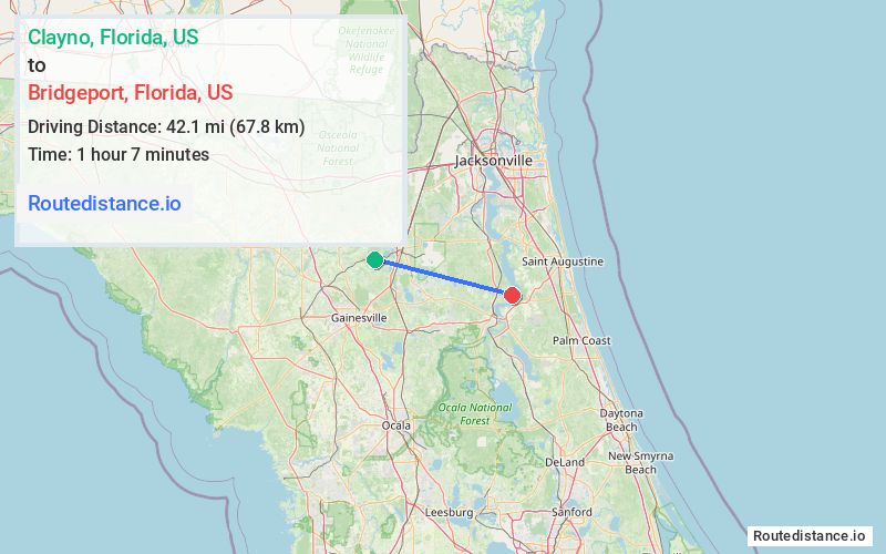
Distance from Clayno, Florida to Bridgeport, Florida
The driving distance from Clayno, Florida to Bridgeport, Florida is 60 mi (96.6 km)
The straight-line (air) distance is approximately 26.2 mi (42.1 km)
Estimated travel time by road is 1 hour 20 minutes
We found 3 routes between Clayno and Bridgeport.
Available Routes
Route Directions
Take SW 129th Ave, SW 116th Ave, SW 109th Ave/Buck Hill Rd, SW 166th St and SW 101st Ave/SW 21 St to State Rte 100 E
Continue on State Rte 100 E to Putnam County
Follow W River Rd to St Johns Dr
Route Directions
Take SW 133rd Terrace to SW County Rd 18
Continue on SW County Rd 18. Take US-301 S/N Main St, FL-26 E, State Rte 100 E and W River Rd to Bridgeport Rd in Putnam County
Follow Bridgeport Rd to St Johns Dr
Route Directions
Take SW 129th Ave, SW 116th Ave, SW 109th Ave/Buck Hill Rd, SW 166th St and SW 101st Ave/SW 21 St to State Rte 100 E
Take FL-16 E to S Oakridge Ave in Green Cove Springs
Continue on Palmetto Bluff Rd. Drive to St Johns Dr
Journey Details
Traveling from Clayno, Florida to Bridgeport, Florida covers 59.3 miles (95 km) in a east direction. This mixed highways and local roads, moderate route typically takes 1 hour 21 minutes under normal conditions.
Drivers have 3 route options between these locations (59-65 miles / 95-105 km). The primary route shown here saves 5 minutes compared to alternatives.
Journey Waypoints
Clayno
Starting Point
Bridgeport
Destination
Route Map Image