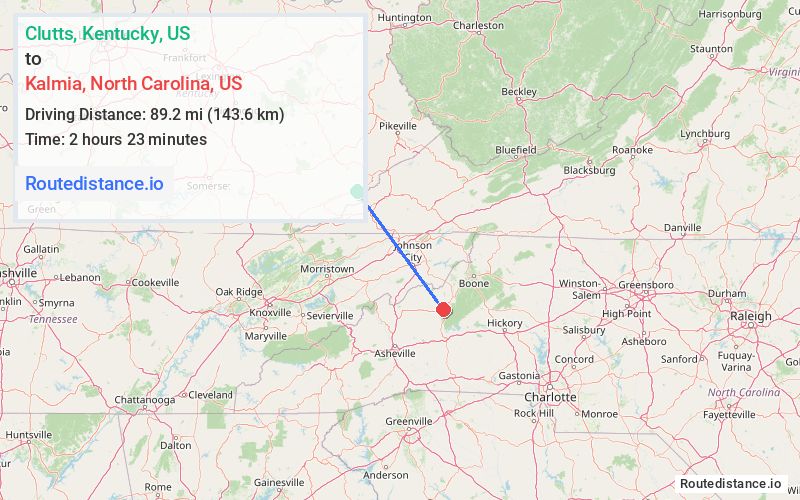
Distance from Clutts, Kentucky to Kalmia, North Carolina
The driving distance from Clutts, Kentucky to Kalmia, North Carolina is 161.9 mi (260.5 km)
The straight-line (air) distance is approximately 55.4 mi (89.2 km)
Estimated travel time by road is 3 hours 32 minutes
We found 2 routes between Clutts and Kalmia.
Available Routes
Route Directions
Take KY-160 S and US-23 BUS N to US-19 S/US-58 ALT E in Russell County
Continue on US-19 S. Take I-81 S to US-19E S in Mitchell County
Route Directions
Get on US-23 S in Wise County from KY-160 S, N Inman St and US-23 BUS S
Follow US-23 S and I-26 to Unicoi. Take exit 32 from I-26
Take TN-107 E and NC-226 S to US-19E E in Spruce Pine
Journey Details
Traveling from Clutts, Kentucky to Kalmia, North Carolina covers 130.1 miles (209 km) in a southeast direction. This mixed highways and local roads, substantial route typically takes 2 hours 52 minutes under normal conditions.
Drivers have 2 route options between these locations (130-162 miles / 209-261 km). The primary route shown here saves 41 minutes compared to alternatives.
The route features scenic views. During evening weekday travel, expect evening rush hour with average speeds around 47 mph (76 km/h) .
Journey Waypoints
Clutts
Starting Point
Kalmia
Destination
Route Map Image