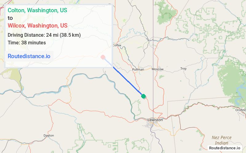
Distance from Colton, Washington to Wilcox, Washington
The driving distance from Colton, Washington to Wilcox, Washington is 31.6 mi (50.9 km)
The straight-line (air) distance is approximately 14.9 mi (24 km)
Estimated travel time by road is 39 minutes
We found 3 routes between Colton and Wilcox.
Available Routes
Route Directions
Follow US-195 N to Hamilton Hill Rd
Follow Hamilton Hill Rd, Upper Union Flat Rd and Sommers Rd to Klaus Rd
Route Directions
Take Wawawai Rd and Wawawai-Pullman Rd to Hamilton Hill Rd
Take Upper Union Flat Rd to Almota Rd
Take Sommers Rd to Wilcox Rd
Follow Wilcox Rd to Klaus Rd
Route Directions
Follow US-195 N and WA-194 W to Hamilton Hill Rd
Take Upper Union Flat Rd and Sommers Rd to Klaus Rd
Journey Details
Traveling from Colton, Washington to Wilcox, Washington covers 30.7 miles (49 km) in a northwest direction. This mixed highways and local roads, moderate route typically takes 39 minutes under normal conditions.
Drivers have 3 route options between these locations (31-32 miles / 49-51 km). The primary route shown here saves 5 minutes compared to alternatives.
Journey Waypoints
Colton
Starting Point
Wilcox
Destination
Route Map Image