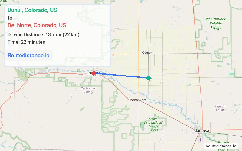
Distance from Dunul, Colorado to Del Norte, Colorado
The driving distance from Dunul, Colorado to Del Norte, Colorado is 15.7 mi (25.3 km)
The straight-line (air) distance is approximately 8.5 mi (13.7 km)
Estimated travel time by road is 18 minutes
We found 3 routes between Dunul and Del Norte.
Available Routes
Route Directions
Route Directions
Route Directions
Journey Details
Traveling from Dunul, Colorado to Del Norte, Colorado covers 15.2 miles (24 km) in a west direction. This highway, moderate route typically takes 17 minutes under normal conditions.
Drivers have 3 route options between these locations (15-18 miles / 24-28 km). The primary route shown here saves 4 minutes compared to alternatives.
The route features scenic views. During midday weekend travel, expect typical weekend traffic patterns with average speeds around 57 mph (92 km/h) .
Journey Waypoints
Dunul
Starting Point
Del Norte
Destination
Route Map Image