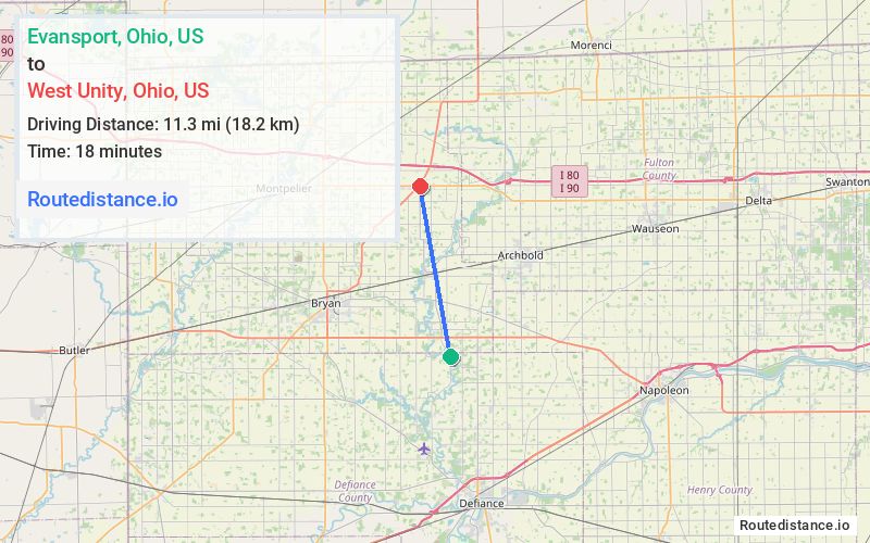
Distance from Evansport, Ohio to West Unity, Ohio
The driving distance from Evansport, Ohio to West Unity, Ohio is 13.4 mi (21.6 km)
The straight-line (air) distance is approximately 7 mi (11.3 km)
Estimated travel time by road is 18 minutes
We found 3 routes between Evansport and West Unity.
Available Routes
Route Directions
Take OH-191 N and OH-34 W/State Rte 2 W to Township Rd 19.50 in Springfield Township
Take County Rd 19.50 to US-127 N in Brady Township
Follow US-127 N to S High St in West Unity
Route Directions
Follow County Rd 22-A and US-6 W to Co Rd 20 in Springfield Township
Take County Rd 19.50 to US-127 N in Brady Township
Follow US-127 N to S High St in West Unity
Route Directions
Take OH-191 N to Lynn St in West Unity
Drive to S High St
Journey Details
Traveling from Evansport, Ohio to West Unity, Ohio covers 12.3 miles (20 km) in a north direction. This secondary roads, moderate route typically takes 18 minutes under normal conditions.
Drivers have 3 route options between these locations (12-14 miles / 20-22 km). The primary route shown here saves 2 minutes compared to alternatives.
Journey Waypoints
Evansport
Starting Point
West Unity
Destination
Route Map Image