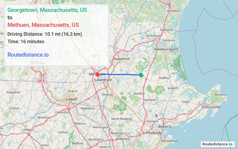
Distance from Georgetown, Massachusetts to Methuen, Massachusetts
The driving distance from Georgetown, Massachusetts to Methuen, Massachusetts is 14.8 mi (23.8 km)
The straight-line (air) distance is approximately 6.3 mi (10.1 km)
Estimated travel time by road is 24 minutes
We found 3 routes between Georgetown and Methuen.
Available Routes
Route Directions
Continue to North St
Take State Hwy 133, MA-133 W, Sutton St, I-495 N and MA-213 W to Osgood St in Methuen
Route Directions
Continue to North St
Take MA-133 W, Great Pond Rd, Massachusetts Ave, I-495 N and MA-213 W to Osgood St in Methuen
Route Directions
Continue to North St
Take MA-97 N, Salem St, S Main St, Industrial Ave, ... and MA-213 W to Osgood St in Methuen
Journey Details
Traveling from Georgetown, Massachusetts to Methuen, Massachusetts covers 14.7 miles (24 km) in a west direction. This secondary roads, moderate route typically takes 26 minutes under normal conditions.
Drivers have 3 route options between these locations (15-16 miles / 24-26 km). The primary route shown here saves 2 minutes compared to alternatives.
The route features scenic views. During morning weekday travel, expect morning rush hour with average speeds around 34 mph (55 km/h) .
Journey Waypoints
Georgetown
Starting Point
Methuen
Destination
Route Map Image