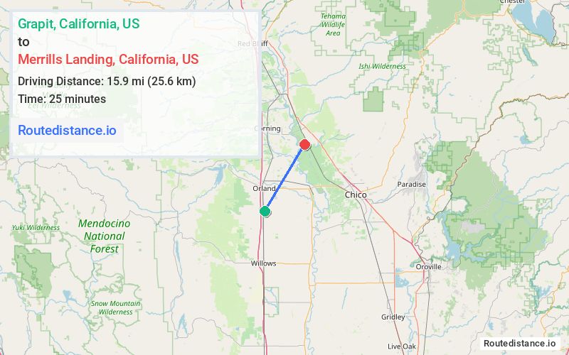
Distance from Grapit, California to Merrills Landing, California
The driving distance from Grapit, California to Merrills Landing, California is 27.5 mi (44.2 km)
The straight-line (air) distance is approximately 9.9 mi (15.9 km)
Estimated travel time by road is 32 minutes
We found 3 routes between Grapit and Merrills Landing.
Available Routes
Route Directions
Get on I-5 E from Co Rd 27
Follow I-5 E to South Ave in Tehama County. Take exit 630 from I-5 E
Continue on South Ave to your destination in Butte County
Route Directions
Take I-5 E, S 99 W Hwy and Capay Rd to Hall Rd in Tehama County
Take Ballard Rd to your destination in Butte County
Route Directions
Continue on Co Rd P to Tehama County
Take Ballard Rd to your destination in Butte County
Journey Details
Traveling from Grapit, California to Merrills Landing, California covers 27.2 miles (44 km) in a northeast direction. This mixed highways and local roads, moderate route typically takes 36 minutes under normal conditions.
Drivers have 3 route options between these locations (27-28 miles / 44-44 km). The primary route shown here saves no time compared to alternatives.
Journey Waypoints
Grapit
Starting Point
Merrills Landing
Destination
Route Map Image