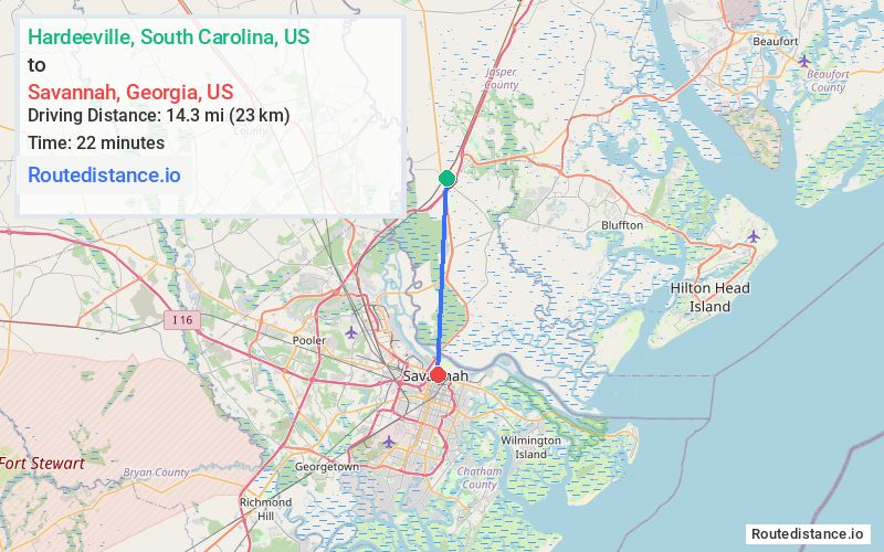
Distance from Hardeeville, South Carolina to Savannah, Georgia
The driving distance from Hardeeville, South Carolina to Savannah, Georgia is 17.5 mi (28.1 km)
The straight-line (air) distance is approximately 8.9 mi (14.3 km)
Estimated travel time by road is 23 minutes
We found 2 routes between Hardeeville and Savannah.
Available Routes
Route Directions
Follow US-17 S to GA-25 Connector S in Savannah. Take the GA-25 exit from US-17 S
Drive to W Bay St
Route Directions
Take I-95 S to GA-21 S/GA-30 E/Augusta Rd in Port Wentworth. Take exit 109 from I-95 S
Take I-516 E to GA-25 Connector N/W Bay St in Savannah. Take exit 7 from I-516 E
Journey Details
Traveling from Hardeeville, South Carolina to Savannah, Georgia covers 17.5 miles (28 km) in a south direction. This mixed highways and local roads, moderate route typically takes 23 minutes under normal conditions.
Drivers have 2 route options between these locations (17-21 miles / 28-34 km). The primary route shown here saves 6 minutes compared to alternatives.
The route features scenic views. During evening weekend travel, expect typical weekend traffic patterns with average speeds around 49 mph (79 km/h) .
Journey Waypoints
Hardeeville
Starting Point
Savannah
Destination
Route Map Image