Distance from Haskell, Arkansas to Alpine, Arkansas
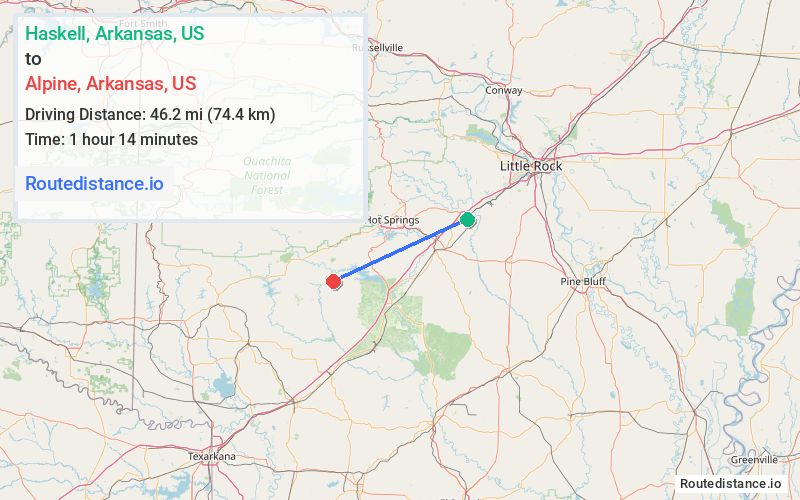
The driving distance from Haskell, Arkansas to Alpine, Arkansas is 60.1 mi (96.7 km)
The straight-line (air) distance is approximately 28.7 mi (46.2 km)
Estimated travel time by road is 1 hour
We found 3 routes between Haskell and Alpine.
Available Routes
Route Directions
Get on I-30 W from US-67 S
Follow I-30 W to AR-51 S/AR-8 W/Pine St in Arkadelphia. Take exit 73 from I-30 W
Route Directions
Take I-30 W and AR-84 W to AR-8 E in Alpine
Route Directions
Take US-67 S and I-30 W to Midway Rd/Old Military Rd/Sleepy Hollow Rd in Hot Spring County
Follow US-67 S to Old Military Rd in Arkadelphia
Follow Old Military Rd to AR-8 W
Journey Details
Traveling from Haskell, Arkansas to Alpine, Arkansas covers 59.5 miles (96 km) in a west direction. This mixed highways and local roads, moderate route typically takes 1 hour 10 minutes under normal conditions.
Drivers have 3 route options between these locations (60-65 miles / 96-104 km). The primary route shown here saves 6 minutes compared to alternatives.
Journey Waypoints
Haskell
Starting Point
Alpine
Destination
Route Map Image