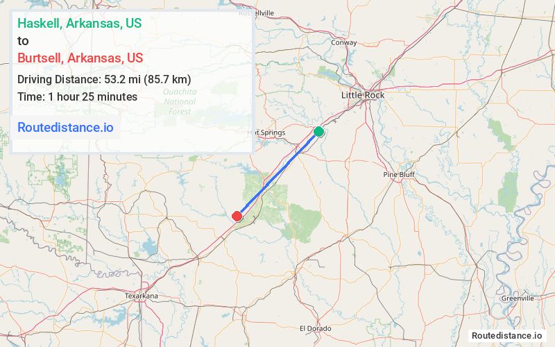
Distance from Haskell, Arkansas to Burtsell, Arkansas
The driving distance from Haskell, Arkansas to Burtsell, Arkansas is 63.7 mi (102.5 km)
The straight-line (air) distance is approximately 33.1 mi (53.2 km)
Estimated travel time by road is 1 hour
We found 2 routes between Haskell and Burtsell.
Available Routes
Route Directions
Get on I-30 W from US-67 S
Follow I-30 W to AR-51 N in Clark County. Take exit 54 from I-30 W
Continue on AR-51 N. Drive to Burtsell Rd
Route Directions
Get on I-30 W from US-67 S
Follow I-30 W to AR-53 S in Clark County. Take exit 63 from I-30 W
Follow Southfork Rd and Dickerson Rd to Burtsell Rd
Journey Details
Traveling from Haskell, Arkansas to Burtsell, Arkansas covers 58.4 miles (94 km) in a southwest direction. This highway, moderate route typically takes 59 minutes under normal conditions.
Drivers have 2 route options between these locations (58-64 miles / 94-102 km). The primary route shown here saves 32 seconds compared to alternatives.
The route features scenic views. During night weekday travel, expect minimal traffic congestion with average speeds around 56 mph (90 km/h) .
Journey Waypoints
Haskell
Starting Point
Burtsell
Destination
Route Map Image