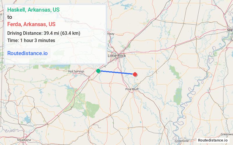
Distance from Haskell, Arkansas to Ferda, Arkansas
The driving distance from Haskell, Arkansas to Ferda, Arkansas is 71.5 mi (115.1 km)
The straight-line (air) distance is approximately 24.5 mi (39.4 km)
Estimated travel time by road is 1 hour 13 minutes
We found 2 routes between Haskell and Ferda.
Available Routes
Route Directions
Get on I-30 E in Benton
Continue on I-30 E. Drive from I-430 N and I-40 E to North Little Rock. Take exit 7 from I-440 W
Continue on US-165 S. Drive to AR-15 S in Jefferson County
Route Directions
Get on I-30 E in Benton
Continue on I-30 E to North Little Rock. Take exit 7 from I-440 E
Continue on US-165 S. Drive to AR-15 S in Jefferson County
Journey Details
Traveling from Haskell, Arkansas to Ferda, Arkansas covers 59.2 miles (95 km) in a east direction. This highway, moderate route typically takes 1 hour 1 minute under normal conditions.
Drivers have 2 route options between these locations (59-72 miles / 95-115 km). The primary route shown here saves 12 minutes compared to alternatives.
Journey Waypoints
Haskell
Starting Point
Ferda
Destination
Route Map Image