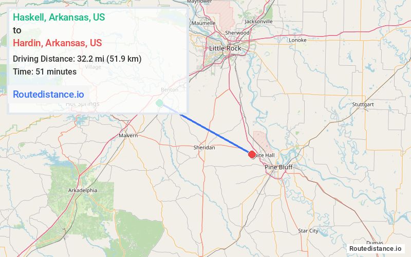
Distance from Haskell, Arkansas to Hardin, Arkansas
The driving distance from Haskell, Arkansas to Hardin, Arkansas is 40.6 mi (65.3 km)
The straight-line (air) distance is approximately 20 mi (32.3 km)
Estimated travel time by road is 53 minutes
We found 3 routes between Haskell and Hardin.
Available Routes
Route Directions
Follow AR-229 S to AR-291 W/Elm in Traskwood
Follow AR-291 W, W Oak St and Co Rd 62 to AR-35 S in Grant County
Follow AR-35 S to US-270 E in Jefferson County
Route Directions
Route Directions
Continue on Grand Ave to AR-35 S
Follow AR-35 S to US-270 E in Jefferson County
Journey Details
Traveling from Haskell, Arkansas to Hardin, Arkansas covers 38.3 miles (62 km) in a southeast direction. This mixed highways and local roads, moderate route typically takes 51 minutes under normal conditions.
Drivers have 3 route options between these locations (38-43 miles / 62-70 km). The primary route shown here saves 3 minutes compared to alternatives.
Journey Waypoints
Haskell
Starting Point
Hardin
Destination
Route Map Image