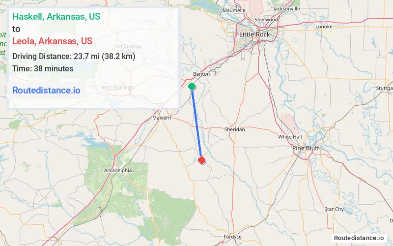
Distance from Haskell, Arkansas to Leola, Arkansas
The driving distance from Haskell, Arkansas to Leola, Arkansas is 31.8 mi (51.3 km)
The straight-line (air) distance is approximately 14.7 mi (23.7 km)
Estimated travel time by road is 41 minutes
We found 3 routes between Haskell and Leola.
Available Routes
Route Directions
Route Directions
Route Directions
Journey Details
Traveling from Haskell, Arkansas to Leola, Arkansas covers 26.1 miles (42 km) in a south direction. This mixed highways and local roads, moderate route typically takes 36 minutes under normal conditions.
Drivers have 3 route options between these locations (26-36 miles / 42-58 km). The primary route shown here saves 8 minutes compared to alternatives.
The route features scenic views. During midday weekend travel, expect typical weekend traffic patterns with average speeds around 44 mph (71 km/h) .
Journey Waypoints
Haskell
Starting Point
Leola
Destination
Route Map Image