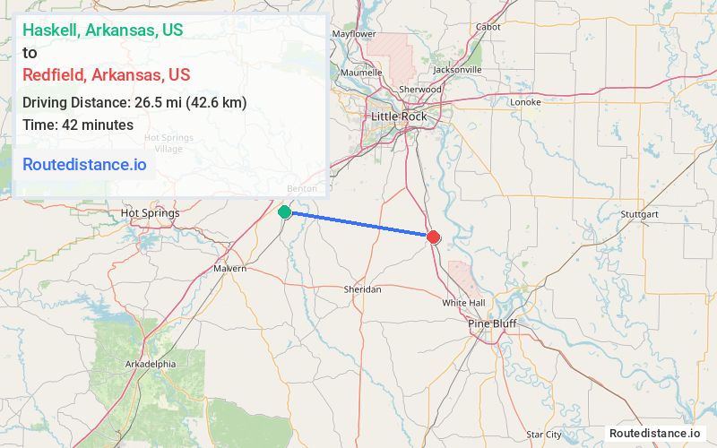
Distance from Haskell, Arkansas to Redfield, Arkansas
The driving distance from Haskell, Arkansas to Redfield, Arkansas is 47.9 mi (77 km)
The straight-line (air) distance is approximately 16.5 mi (26.5 km)
Estimated travel time by road is 44 minutes
We found 3 routes between Haskell and Redfield.
Available Routes
Route Directions
Get on I-30 E in Benton
Follow I-30 E and I-530 S/US-65 S to AR-46 E/Sheridan Rd in Jefferson. Take exit 20 from I-530 S/US-65 S
Route Directions
Take AR-229 N, US-67 N, I-30 E, Edison Ave and AR-183 N to W Sardis Rd in Bauxite
Continue on W Sardis Rd to East End
Follow US-167 N and I-530 S/US-65 S to AR-46 E/Sheridan Rd in Redfield
Route Directions
Continue on Grand Ave to AR-35 S
Follow AR-35 S to AR-46 E in Redfield
Journey Details
Traveling from Haskell, Arkansas to Redfield, Arkansas covers 39.2 miles (63 km) in a east direction. This mixed highways and local roads, moderate route typically takes 55 minutes under normal conditions.
Drivers have 3 route options between these locations (39-48 miles / 63-77 km). The primary route shown here saves no time compared to alternatives.
Journey Waypoints
Haskell
Starting Point
Redfield
Destination
Route Map Image