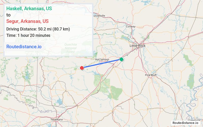
Distance from Haskell, Arkansas to Segur, Arkansas
The driving distance from Haskell, Arkansas to Segur, Arkansas is 61.1 mi (98.3 km)
The straight-line (air) distance is approximately 31.2 mi (50.2 km)
Estimated travel time by road is 1 hour 9 minutes
We found 2 routes between Haskell and Segur.
Available Routes
Route Directions
Continue on US-67 S. Take I-30 W, US-270 W and US-70 W to Kennedy Rd in Montgomery County
Route Directions
Follow US-70 W to Kennedy Rd in Montgomery County
Journey Details
Traveling from Haskell, Arkansas to Segur, Arkansas covers 59 miles (95 km) in a west direction. This highway, moderate route typically takes 1 hour 6 minutes under normal conditions.
Drivers have 2 route options between these locations (59-61 miles / 95-98 km). The primary route shown here saves 4 minutes compared to alternatives.
Journey Waypoints
Haskell
Starting Point
Segur
Destination
Route Map Image