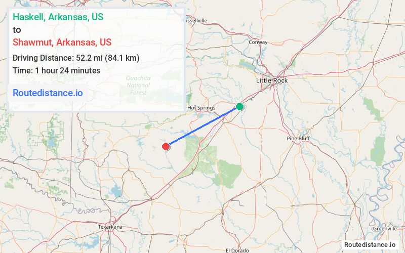
Distance from Haskell, Arkansas to Shawmut, Arkansas
The driving distance from Haskell, Arkansas to Shawmut, Arkansas is 71.6 mi (115.2 km)
The straight-line (air) distance is approximately 32.5 mi (52.2 km)
Estimated travel time by road is 1 hour 37 minutes
We found 2 routes between Haskell and Shawmut.
Available Routes
Route Directions
Follow US-67 S and I-30 W to AR-51 S/AR-8 W/Pine St in Arkadelphia. Take exit 73 from I-30 W
Take AR-26 W and Bobo Rd to C R 10/Shawmut Rd
Route Directions
Take I-30 W to AR-51 S/AR-8 W/Pine St in Arkadelphia. Take exit 73 from I-30 W
Take AR-26 W and Bobo Rd to C R 10/Shawmut Rd
Journey Details
Traveling from Haskell, Arkansas to Shawmut, Arkansas covers 66.8 miles (108 km) in a southwest direction. This mixed highways and local roads, substantial route typically takes 1 hour 22 minutes under normal conditions.
Drivers have 2 route options between these locations (67-72 miles / 108-115 km). The primary route shown here saves 15 minutes compared to alternatives.
Journey Waypoints
Haskell
Starting Point
Shawmut
Destination
Route Map Image