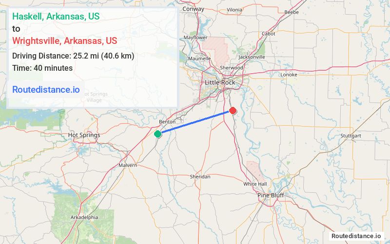
Distance from Haskell, Arkansas to Wrightsville, Arkansas
The driving distance from Haskell, Arkansas to Wrightsville, Arkansas is 43.5 mi (70.1 km)
The straight-line (air) distance is approximately 15.7 mi (25.2 km)
Estimated travel time by road is 43 minutes
We found 2 routes between Haskell and Wrightsville.
Available Routes
Route Directions
Get on I-30 E in Benton
Continue on I-30 E. Take I-430 N, I-630 E and I-530 S to Pratt Rd in Pulaski County. Take exit 7 from I-530 S
Drive to 145th St in Wrightsville
Route Directions
Get on I-30 E in Benton
Continue on I-30 E to Pulaski County. Take exit 7 from I-530 S/US-167 S/US-65 S
Drive to 145th St in Wrightsville
Journey Details
Traveling from Haskell, Arkansas to Wrightsville, Arkansas covers 36.6 miles (59 km) in a east direction. This highway, moderate route typically takes 36 minutes under normal conditions.
Drivers have 2 route options between these locations (37-44 miles / 59-70 km). The primary route shown here saves 8 minutes compared to alternatives.
Journey Waypoints
Haskell
Starting Point
Wrightsville
Destination
Route Map Image