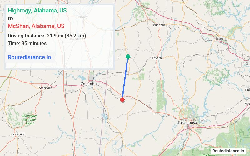
Distance from Hightogy, Alabama to McShan, Alabama
The driving distance from Hightogy, Alabama to McShan, Alabama is 36.1 mi (58 km)
The straight-line (air) distance is approximately 13.6 mi (21.9 km)
Estimated travel time by road is 41 minutes
We found 3 routes between Hightogy and McShan.
Available Routes
Route Directions
Take Co Rd 49 to AL-96 E in Kennedy
Continue on AL-17 S to Pickens County
Continue on Co Rd 30. Take Mc Shane Rd/Phoenix Ave to Mc Shan Post Office Rd
Route Directions
Follow AL-17 S and AL-96 W to Hutcherson Rd in Lowndes County
Get on US-82 E from Lee Stokes Rd
Take Mc Shane Rd/Phoenix Ave to Mc Shan Post Office Rd
Route Directions
Continue on AL-17 S. Take Co Rd 27 and Coalfires Lyles Woodard Rd to Mc Shan Post Office Rd in Pickens County
Journey Details
Traveling from Hightogy, Alabama to McShan, Alabama covers 27.3 miles (44 km) in a south direction. This mixed highways and local roads, moderate route typically takes 33 minutes under normal conditions.
Drivers have 3 route options between these locations (27-39 miles / 44-62 km). The primary route shown here saves 9 minutes compared to alternatives.
Journey Waypoints
Hightogy
Starting Point
McShan
Destination
Route Map Image