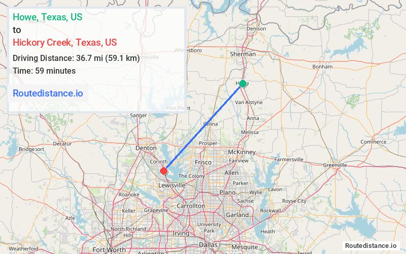
Distance from Howe, Texas to Hickory Creek, Texas
The driving distance from Howe, Texas to Hickory Creek, Texas is 69.8 mi (112.4 km)
The straight-line (air) distance is approximately 22.8 mi (36.7 km)
Estimated travel time by road is 1 hour 14 minutes
We found 2 routes between Howe and Hickory Creek.
Available Routes
Route Directions
Follow FM 902 W to Ethel Cemetery Rd/Hog Creek Rd
Take Graham Grove Rd to US-377 S
Take FM922 W, E Lone Oak Rd, I-35 S and I-35E S to Lakehill Dr in Hickory Creek
Continue on Lakehill Dr. Take Shasta Dr to Stamford Dr
Route Directions
Get on US-75 S from S Collins Fwy
Follow US-75 S, Sam Rayburn Tollway S and I-35E N to S Interstate 35/S Stemmons Fwy in Lake Dallas. Take exit 458 A from I-35E N
Take W Hundley Dr and Point Vista Rd to Stamford Dr in Hickory Creek
Journey Details
Traveling from Howe, Texas to Hickory Creek, Texas covers 59 miles (95 km) in a southwest direction. This highway, moderate route typically takes 53 minutes under normal conditions.
Drivers have 2 route options between these locations (59-70 miles / 95-112 km). The primary route shown here saves 21 minutes compared to alternatives.
The route features scenic views, toll sections. During night weekday travel, expect minimal traffic congestion with average speeds around 60 mph (97 km/h) .
Journey Waypoints
Howe
Starting Point
Hickory Creek
Destination
Route Map Image