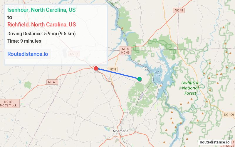
Distance from Isenhour, North Carolina to Richfield, North Carolina
The driving distance from Isenhour, North Carolina to Richfield, North Carolina is 8.7 mi (14.1 km)
The straight-line (air) distance is approximately 3.7 mi (5.9 km)
Estimated travel time by road is 12 minutes
We found 3 routes between Isenhour and Richfield.
Available Routes
Route Directions
Take Yadkin Brick Rd to NC-740 N
Follow Gurley Rd and Gene Rd to US Rte 52 N
Follow N Main St to School St
Route Directions
Take Yadkin Brick Rd to NC-740 N
Follow N Main St to School St
Route Directions
Journey Details
Traveling from Isenhour, North Carolina to Richfield, North Carolina covers 7.4 miles (12 km) in a west direction. This mixed highways and local roads, short route typically takes 10 minutes under normal conditions.
Drivers have 3 route options between these locations (7-9 miles / 12-14 km). The primary route shown here saves 3 minutes compared to alternatives.
Journey Waypoints
Isenhour
Starting Point
Richfield
Destination
Route Map Image