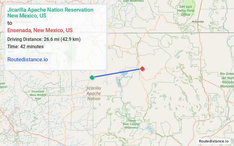
Distance from Jicarilla Apache Nation Reservation, New Mexico to Ensenada, New Mexico
The driving distance from Jicarilla Apache Nation Reservation, New Mexico to Ensenada, New Mexico is 59.3 mi (95.4 km)
The straight-line (air) distance is approximately 16.6 mi (26.6 km)
Estimated travel time by road is 1 hour 7 minutes
We found 3 routes between Jicarilla Apache Nation Reservation and Ensenada.
Available Routes
Route Directions
Take NM-537 N to US-64 E
Follow US-64 E to NM-512
Follow NM-512 and NM-573 S to Co Rd 328 in Ensenada
Route Directions
Follow NM-112 N
Take NM-573 N to Co Rd 328 in Ensenada
Route Directions
Continue on County Hwy J8. Take NM-95 N to NM-162 W in Tierra Amarilla
Take NM-573 N to Co Rd 328 in Ensenada
Journey Details
Traveling from Jicarilla Apache Nation Reservation, New Mexico to Ensenada, New Mexico covers 38.6 miles (62 km) in a east direction. This secondary roads, moderate route typically takes 1 hour 17 minutes under normal conditions.
Drivers have 3 route options between these locations (39-59 miles / 62-95 km). The primary route shown here saves 10 minutes compared to alternatives.
The route features scenic views. During midday weekend travel, expect typical weekend traffic patterns with average speeds around 32 mph (51 km/h) .
Journey Waypoints
Jicarilla Apache Nation Reservation
Starting Point
Ensenada
Destination
Route Map Image