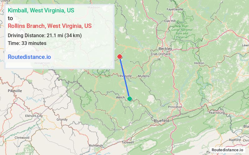
Distance from Kimball, West Virginia to Rollins Branch, West Virginia
The driving distance from Kimball, West Virginia to Rollins Branch, West Virginia is 42.5 mi (68.3 km)
The straight-line (air) distance is approximately 13.1 mi (21.1 km)
Estimated travel time by road is 1 hour 12 minutes
We found 2 routes between Kimball and Rollins Branch.
Available Routes
Route Directions
Take One Way St to Coal Heritage Rd/Main St
Continue on Coal Heritage Rd. Drive from WV-16 N, Indian Creek Rd and WV-971 N to Cyclone
Drive to Johnson St
Route Directions
Take One Way St to Coal Heritage Rd/Main St
Continue on Coal Heritage Rd. Drive from WV-16 N and State Hwy 10 N to Cyclone
Drive to Johnson St
Journey Details
Traveling from Kimball, West Virginia to Rollins Branch, West Virginia covers 41.1 miles (66 km) in a north direction. This secondary roads, moderate route typically takes 1 hour 4 minutes under normal conditions.
Drivers have 2 route options between these locations (41-42 miles / 66-68 km). The primary route shown here saves 8 minutes compared to alternatives.
The route features scenic views. During midday weekday travel, expect lighter midday traffic with average speeds around 37 mph (60 km/h) .
Journey Waypoints
Kimball
Starting Point
Rollins Branch
Destination
Route Map Image