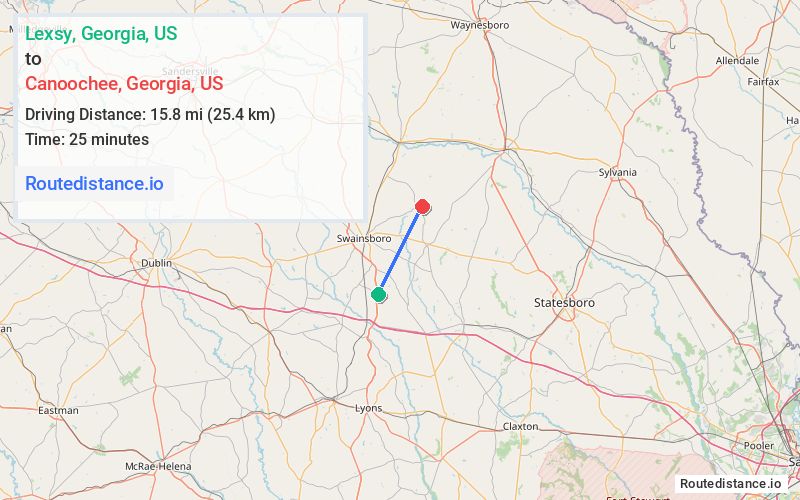
Distance from Lexsy, Georgia to Canoochee, Georgia
The driving distance from Lexsy, Georgia to Canoochee, Georgia is 25.2 mi (40.6 km)
The straight-line (air) distance is approximately 9.8 mi (15.8 km)
Estimated travel time by road is 29 minutes
We found 3 routes between Lexsy and Canoochee.
Available Routes
Route Directions
Take US-1 N to Mt Shady Church Rd
Follow Mt Shady Church Rd and Quick Rd to Lambs Bridge Rd
Follow Lambs Bridge Rd and GA-192 to Canoochee Garfield Rd in Canoochee
Route Directions
Route Directions
Take US-1 N, S Main St and Canoochee Rd to Canoochee Garfield Rd in Canoochee
Journey Details
Traveling from Lexsy, Georgia to Canoochee, Georgia covers 20.4 miles (33 km) in a northeast direction. This mixed highways and local roads, moderate route typically takes 24 minutes under normal conditions.
Drivers have 3 route options between these locations (20-26 miles / 33-41 km). The primary route shown here saves 6 minutes compared to alternatives.
The route features scenic views. During night weekend travel, expect typical weekend traffic patterns with average speeds around 53 mph (85 km/h) .
Journey Waypoints
Lexsy
Starting Point
Canoochee
Destination
Route Map Image