Distance from Link, West Virginia to Four States, West Virginia
The driving distance from Link, West Virginia to Four States, West Virginia is 44.5 mi (71.7 km)
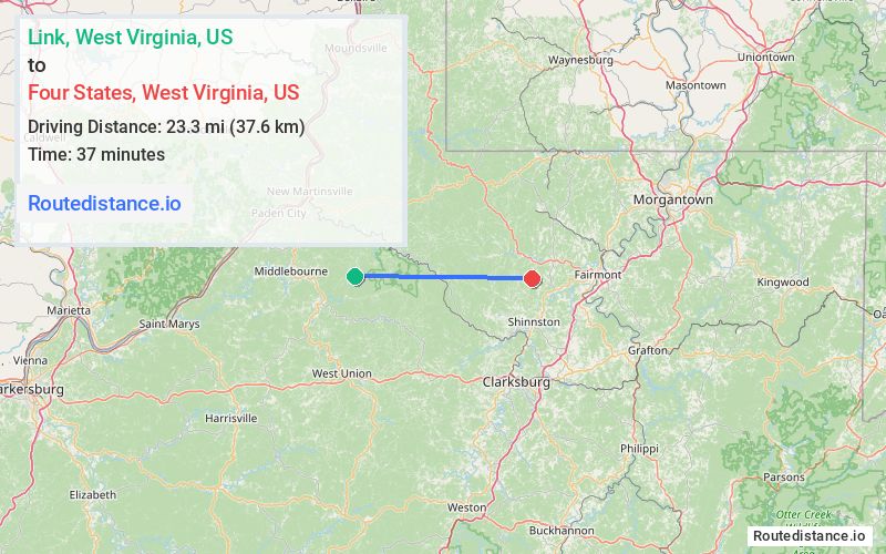
The straight-line (air) distance is approximately 14.5 mi (23.3 km)
Estimated travel time by road is 1 hour 24 minutes
We found 3 routes between Link and Four States.
Available Routes
Route Directions
Take Wetzel Tyler Ridge Rd to Ross Run
Take Furbee Ridge Rd to WV-20 S/State Hwy 20 in Reader
Continue on WV-20 S/State Hwy 20. Drive from Buffalo Rd to Marion County
Take E Run Rd to Four States Rd
Route Directions
Take Wetzel Tyler Ridge Rd and Furbee Ridge Rd to WV-20 S/Galmish Rd/State Hwy 20 in Reader
Follow N Fork Rd and Barker Run Rd to WV-7 E
Drive from US-250 S to Marion County
Take E Run Rd to Four States Rd
Route Directions
Take Wetzel Tyler Ridge Rd to Ross Run
Take Furbee Ridge Rd to WV-20 S/State Hwy 20 in Reader
Continue on Sams Run. Take Talkington Rd, Harrison County Line, Robinson-Wyatt Run Rd, Flaggy Meadow Dr and 4 States to Bingamon Rd to Four States Rd in Marion County
Journey Details
Traveling from Link, West Virginia to Four States, West Virginia covers 44.4 miles (72 km) in a east direction. This secondary roads, moderate route typically takes 1 hour 26 minutes under normal conditions.
Drivers have 3 route options between these locations (44-52 miles / 72-84 km). The primary route shown here saves 6 minutes compared to alternatives.
The route features scenic views. During night weekday travel, expect minimal traffic congestion with average speeds around 32 mph (51 km/h) .
Journey Waypoints
Link
Starting Point
Four States
Destination
Route Map Image