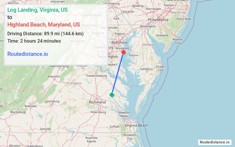
Distance from Log Landing, Virginia to Highland Beach, Maryland
The driving distance from Log Landing, Virginia to Highland Beach, Maryland is 135 mi (217.3 km)
The straight-line (air) distance is approximately 55.8 mi (89.9 km)
Estimated travel time by road is 2 hours 51 minutes
We found 3 routes between Log Landing and Highland Beach.
Available Routes
Route Directions
Take State Rte 631, VA-14 W and State Rte 620 to US-360 E in Essex County
Take US-17 N/Tidewater Trail and US-301 N to MD-665 E in Parole. Take exit 22 from US-301 N/US-50 E
Continue on MD-665 E. Take Forest Dr and Arundel on the Bay Rd to Douglass Ave in Highland Beach
Route Directions
Get on I-95 N in Doswell from VA-30 W
Follow I-95 N and US-50 E to MD-665 E in Parole. Take exit 22 from US-50 E
Continue on MD-665 E. Take Forest Dr and Arundel on the Bay Rd to Douglass Ave in Highland Beach
Route Directions
Take State Rte 631, State Rte 620, State Rte 717 and State Rte 716 to US-17 N in Caret
Follow US-17 N and US-301 N to MD-665 E in Parole. Take exit 22 from US-301 N/US-50 E
Continue on MD-665 E. Take Forest Dr and Arundel on the Bay Rd to Douglass Ave in Highland Beach
Journey Details
Traveling from Log Landing, Virginia to Highland Beach, Maryland covers 131.2 miles (211 km) in a north direction. This mixed highways and local roads, substantial route typically takes 2 hours 49 minutes under normal conditions.
Drivers have 3 route options between these locations (131-162 miles / 211-261 km). The primary route shown here saves 2 minutes compared to alternatives.
The route features coastal roads. During night weekday travel, expect minimal traffic congestion with average speeds around 46 mph (74 km/h) .
Journey Waypoints
Log Landing
Starting Point
Highland Beach
Destination
Route Map Image