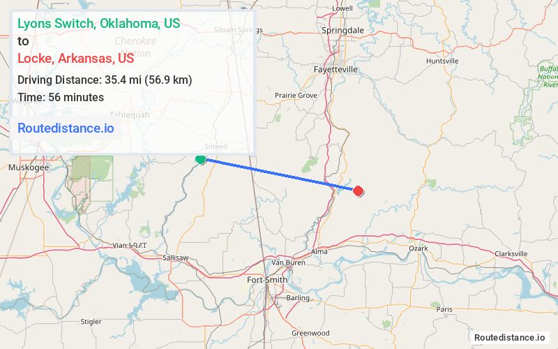
Distance from Lyons Switch, Oklahoma to Locke, Arkansas
The driving distance from Lyons Switch, Oklahoma to Locke, Arkansas is 63.8 mi (102.7 km)
The straight-line (air) distance is approximately 22 mi (35.4 km)
Estimated travel time by road is 1 hour 30 minutes
We found 3 routes between Lyons Switch and Locke.
Available Routes
Route Directions
Take S 4700 Rd/N4700 Rd to US-59 S in Cherry Tree
Continue on US-59 S. Take E 923 Rd, OK-101 E, State Hwy 220 N, AR-348 E and US-71 N to NF-1007/Old Locke Rd in Crawford County
Route Directions
Take S 4700 Rd/N4700 Rd to US-59 S in Cherry Tree
Continue on US-59 S. Take I-40 E to State Hwy 348 in Crawford County
Drive to NF-1007/Old Locke Rd
Route Directions
Take E 850 Rd and E 844 Rd/E844 Rd to S 2nd St in Stilwell
Take AR-59 S to AR-348 E in Crawford County
Follow AR-348 E to AR-282 E
Take US-71 N to State Hwy 348
Drive to NF-1007/Old Locke Rd
Journey Details
Traveling from Lyons Switch, Oklahoma to Locke, Arkansas covers 62.9 miles (101 km) in a east direction. This mixed highways and local roads, substantial route typically takes 1 hour 22 minutes under normal conditions.
Drivers have 3 route options between these locations (63-82 miles / 101-132 km). The primary route shown here saves 8 minutes compared to alternatives.
Journey Waypoints
Lyons Switch
Starting Point
Locke
Destination
Route Map Image