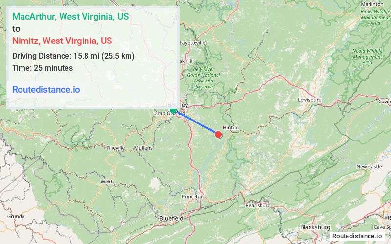
Distance from MacArthur, West Virginia to Nimitz, West Virginia
The driving distance from MacArthur, West Virginia to Nimitz, West Virginia is 26.6 mi (42.8 km)
The straight-line (air) distance is approximately 9.8 mi (15.8 km)
Estimated travel time by road is 40 minutes
This route includes Toll roads along the way.
We found 2 routes between MacArthur and Nimitz.
Available Routes
Route Directions
Get on I-64 E/I-77 S
Continue on I-77 S to Ghent
Take Mount View Rd to your destination in Summers County
Route Directions
Drive from US-19 S and State Hwy 3 E to Nimitz
Journey Details
Traveling from MacArthur, West Virginia to Nimitz, West Virginia covers 20.3 miles (33 km) in a southeast direction. This secondary roads, moderate route typically takes 35 minutes under normal conditions.
Drivers have 2 route options between these locations (20-27 miles / 33-43 km). The primary route shown here saves 6 minutes compared to alternatives.
The route features scenic views. During night weekday travel, expect minimal traffic congestion with average speeds around 33 mph (53 km/h) .
Journey Waypoints
MacArthur
Starting Point
Nimitz
Destination
Route Map Image