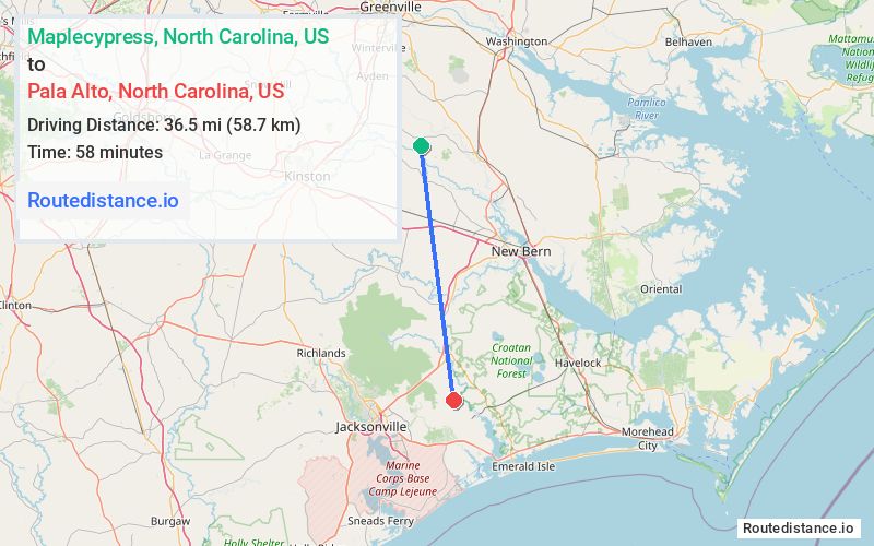
Distance from Maplecypress, North Carolina to Pala Alto, North Carolina
The driving distance from Maplecypress, North Carolina to Pala Alto, North Carolina is 45.1 mi (72.6 km)
The straight-line (air) distance is approximately 22.7 mi (36.5 km)
Estimated travel time by road is 50 minutes
We found 2 routes between Maplecypress and Pala Alto.
Available Routes
Route Directions
Take Maple Cypress Rd and Biddle Rd to NC-55 E
Get on US-70 E
Take US-17 to Belgrade-Swansboro Rd in Onslow County
Follow Belgrade-Swansboro Rd to your destination
Route Directions
Take Biddle Rd to NC-55 E
Take Wintergreen Rd, NC-41 S, NC-58 S, US-17 and Belgrade-Swansboro Rd to Brighttown Rd in Onslow County
Drive to your destination
Journey Details
Traveling from Maplecypress, North Carolina to Pala Alto, North Carolina covers 44.5 miles (72 km) in a south direction. This mixed highways and local roads, moderate route typically takes 54 minutes under normal conditions.
Drivers have 2 route options between these locations (45-45 miles / 72-73 km). The primary route shown here saves no time compared to alternatives.
Journey Waypoints
Maplecypress
Starting Point
Pala Alto
Destination
Route Map Image