Distance from Mark Twain National Forest, Missouri to Quaker, Missouri
The driving distance from Mark Twain National Forest, Missouri to Quaker, Missouri is 62.7 mi (100.9 km)
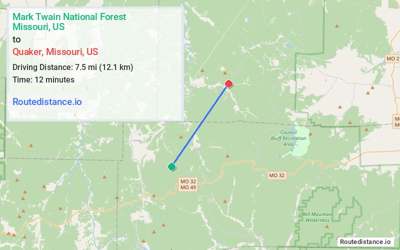
The straight-line (air) distance is approximately 4.7 mi (7.5 km)
Estimated travel time by road is 1 hour 13 minutes
We found 3 routes between Mark Twain National Forest and Quaker.
Available Routes
Route Directions
Take Fairgrounds Rd to Kingshighway
Take I-44 E and MO-19 S to Missouri V in Cherryville
Continue on Missouri V. Drive to Old Rte C in Harmony Township
Route Directions
Take Fairgrounds Rd to Kingshighway
Follow MO-72 E to State Hwy F/State Rte F in Dillon Township
Take State Hwy JJ to MO-19 N in Short Bend Township
Continue on MO-19 N to Cherryville
Continue on Missouri V. Drive to Old Rte C in Harmony Township
Route Directions
Take Fairgrounds Rd to Kingshighway
Take I-44 E, MO-8 E, MO-19 S and MO-49 S to Missouri V in Cherryville
Continue on Missouri V. Drive to Old Rte C in Harmony Township
Journey Details
Traveling from Mark Twain National Forest, Missouri to Quaker, Missouri covers 59.5 miles (96 km) in a northeast direction. This mixed highways and local roads, moderate route typically takes 1 hour 12 minutes under normal conditions.
Drivers have 3 route options between these locations (59-67 miles / 96-108 km). The primary route shown here saves 13 minutes compared to alternatives.
The route features scenic views. During morning weekday travel, expect morning rush hour with average speeds around 50 mph (80 km/h) .
Journey Waypoints
Mark Twain National Forest
Starting Point
Quaker
Destination
Route Map Image