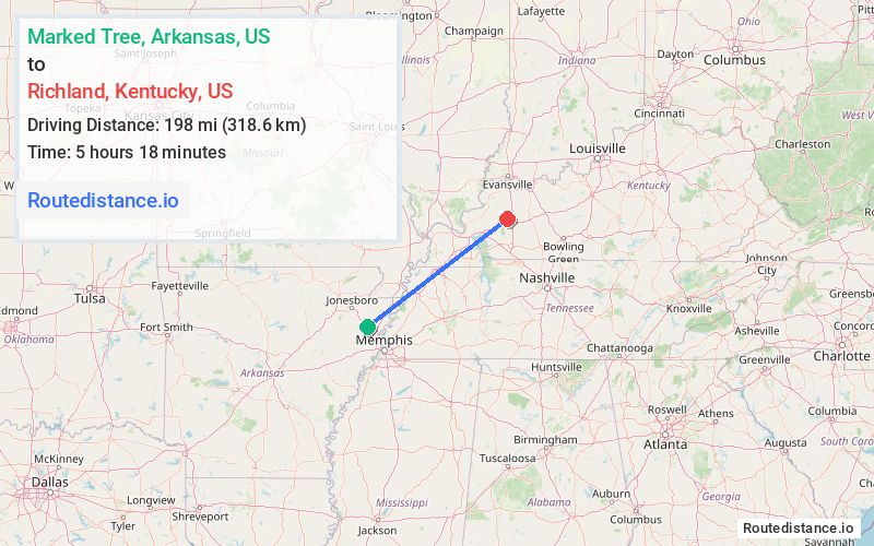
Distance from Marked Tree, Arkansas to Richland, Kentucky
The driving distance from Marked Tree, Arkansas to Richland, Kentucky is 244.7 mi (393.8 km)
The straight-line (air) distance is approximately 123 mi (198 km)
Estimated travel time by road is 3 hours 56 minutes
We found 3 routes between Marked Tree and Richland.
Available Routes
Route Directions
Get on I-55 N in Osceola
Continue on I-55 N to Charleston. Take exit 12 from I-57 N/US-60 E
Get on I-24 E in Paducah from US-60 E/US-62 E, KY-286 and US-62 E
Follow I-24 E and I-69 N to KY-109 N in Hopkins County. Take exit 92 from I-69 N
Follow KY-109 N and KY-70 E to State Hwy 1337
Route Directions
Get on I-55 N in Osceola
Continue on I-55 N. Take I-155 E, US-51 N, I-69 and KY-80 to KY-139 N in Trigg County
Follow KY-139 N to Hopkinsville St in Princeton
Take I-69 N to KY-109 N in Hopkins County. Take exit 92 from I-69 N
Follow KY-109 N and KY-70 E to State Hwy 1337
Route Directions
Get on I-55 N in Osceola
Continue on I-55 N. Take I-155 E, US-51 N, I-69, I-24 E and I-69 N to KY-109 N in Hopkins County. Take exit 92 from I-69 N
Follow KY-109 N and KY-70 E to State Hwy 1337
Journey Details
Traveling from Marked Tree, Arkansas to Richland, Kentucky covers 240 miles (386 km) in a northeast direction. This highway, long-distance route typically takes 3 hours 42 minutes under normal conditions.
Drivers have 3 route options between these locations (240-259 miles / 386-416 km). The primary route shown here saves 33 minutes compared to alternatives.
Journey Waypoints
Marked Tree
Starting Point
Richland
Destination
Route Map Image