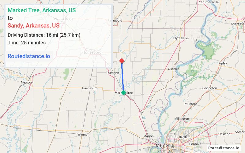
Distance from Marked Tree, Arkansas to Sandy, Arkansas
The driving distance from Marked Tree, Arkansas to Sandy, Arkansas is 32.2 mi (51.8 km)
The straight-line (air) distance is approximately 9.9 mi (16 km)
Estimated travel time by road is 34 minutes
We found 2 routes between Marked Tree and Sandy.
Available Routes
Route Directions
Get on I-555
Follow I-555 to AR-158 E/AR-463 S in Bay. Take exit 35 from I-555
Continue on AR-158 E. Take Craighead 812 Rd to Craighead 817 Rd
Route Directions
Take I-555 to S Ozark Ave
Follow S Ozark Ave to AR-69 N/E Speedway St
Follow AR-69 N to Craighead 812 Rd in Craighead County
Continue on Craighead 812 Rd. Drive to Craighead 817 Rd
Journey Details
Traveling from Marked Tree, Arkansas to Sandy, Arkansas covers 25.5 miles (41 km) in a north direction. This mixed highways and local roads, moderate route typically takes 30 minutes under normal conditions.
Drivers have 2 route options between these locations (25-32 miles / 41-52 km). The primary route shown here saves 4 minutes compared to alternatives.
Journey Waypoints
Marked Tree
Starting Point
Sandy
Destination
Route Map Image