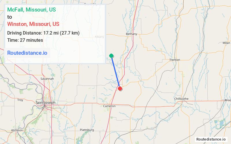
Distance from McFall, Missouri to Winston, Missouri
The driving distance from McFall, Missouri to Winston, Missouri is 29.1 mi (46.9 km)
The straight-line (air) distance is approximately 10.7 mi (17.2 km)
Estimated travel time by road is 34 minutes
We found 2 routes between McFall and Winston.
Available Routes
Route Directions
Route Directions
Take State Rd Aa and State Rd Z to US-69 S in Benton Township
Follow US-69 S to Davis St in Winston
Drive to E 1st St
Journey Details
Traveling from McFall, Missouri to Winston, Missouri covers 22.4 miles (36 km) in a south direction. This mixed highways and local roads, moderate route typically takes 26 minutes under normal conditions.
Drivers have 2 route options between these locations (22-29 miles / 36-47 km). The primary route shown here saves 8 minutes compared to alternatives.
Journey Waypoints
McFall
Starting Point
Winston
Destination
Route Map Image