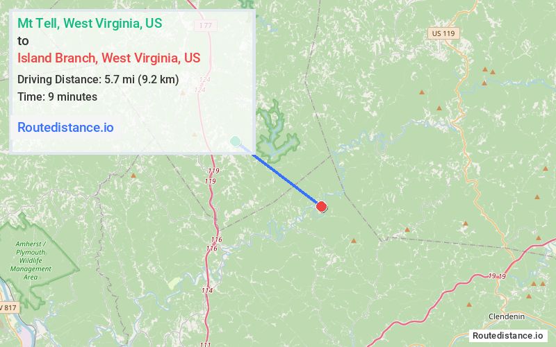
Distance from Mt Tell, West Virginia to Island Branch, West Virginia
The driving distance from Mt Tell, West Virginia to Island Branch, West Virginia is 15 mi (24.2 km)
The straight-line (air) distance is approximately 3.6 mi (5.7 km)
Estimated travel time by road is 25 minutes
We found 2 routes between Mt Tell and Island Branch.
Available Routes
Route Directions
Take Highland Farms Rd to Charleston Rd
Take I-77 S and Poca River Rd/Pocatalico River Rd to Cicerone Rd in Kanawha County
Follow Cicerone Rd to Goose Creek Rd
Route Directions
Take Highland Farms Rd to Charleston Rd
Take Poca River Rd/Pocatalico River Rd to Cicerone Rd in Kanawha County
Follow Cicerone Rd to Goose Creek Rd
Journey Details
Traveling from Mt Tell, West Virginia to Island Branch, West Virginia covers 14.9 miles (24 km) in a southeast direction. This secondary roads, moderate route typically takes 26 minutes under normal conditions.
Drivers have 2 route options between these locations (15-15 miles / 24-24 km). The primary route shown here saves no time compared to alternatives.
The route features scenic views. During morning weekday travel, expect morning rush hour with average speeds around 32 mph (51 km/h) .
Journey Waypoints
Mt Tell
Starting Point
Island Branch
Destination
Route Map Image