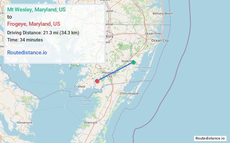
Distance from Mt Wesley, Maryland to Frogeye, Maryland
The driving distance from Mt Wesley, Maryland to Frogeye, Maryland is 26.9 mi (43.3 km)
The straight-line (air) distance is approximately 13.2 mi (21.3 km)
Estimated travel time by road is 30 minutes
We found 3 routes between Mt Wesley and Frogeye.
Available Routes
Route Directions
Route Directions
Take Nassawango Rd and MD-364 W/Dividing Creek Rd to MD-667 W/Rehobeth Rd in West Pocomoke
Continue on MD-667 W/Rehobeth Rd. Drive to Cornstack Rd in Marion Station
Route Directions
Follow US-113 S and US-13 N to MD-667 W/Rehobeth Rd in West Pocomoke
Continue on MD-667 W/Rehobeth Rd. Drive to Cornstack Rd in Marion Station
Journey Details
Traveling from Mt Wesley, Maryland to Frogeye, Maryland covers 25.9 miles (42 km) in a southwest direction. This mixed highways and local roads, moderate route typically takes 30 minutes under normal conditions.
Drivers have 3 route options between these locations (26-28 miles / 42-44 km). The primary route shown here saves 7 minutes compared to alternatives.
Journey Waypoints
Mt Wesley
Starting Point
Frogeye
Destination
Route Map Image