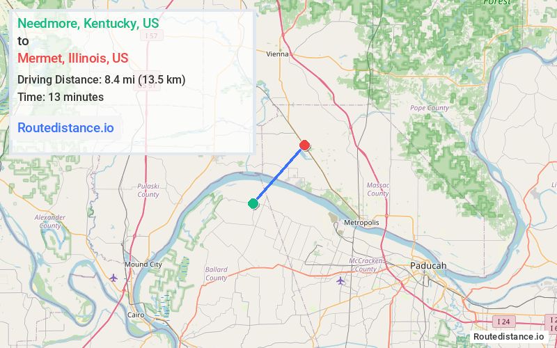
Distance from Needmore, Kentucky to Mermet, Illinois
The driving distance from Needmore, Kentucky to Mermet, Illinois is 39.3 mi (63.3 km)
The straight-line (air) distance is approximately 5.2 mi (8.4 km)
Estimated travel time by road is 49 minutes
We found 3 routes between Needmore and Mermet.
Available Routes
Route Directions
Continue on KY-473 S. Take Woodville Rd, KY-305 E/Cairo Rd/Old Cario Rd, I-24 W and Country Club Rd to US-45 N in Logan Precinct
Route Directions
Take State Hwy 1782 and KY-358 E to Gibson Rd in McCracken County
Take Vaughn Rd to KY-358 E
Continue on KY-358 E. Take I-24 W to New Columbia Rd in Georges Creek Precinct
Drive to Teague Hill Rd in Logan Precinct
Route Directions
Take State Hwy 1782 and KY-358 E to Gibson Rd in McCracken County
Take Vaughn Rd to KY-358 E
Continue on KY-358 E. Take I-24 W and Country Club Rd to US-45 N in Logan Precinct
Journey Details
Traveling from Needmore, Kentucky to Mermet, Illinois covers 38.2 miles (61 km) in a northeast direction. This mixed highways and local roads, moderate route typically takes 48 minutes under normal conditions.
Drivers have 3 route options between these locations (38-42 miles / 61-68 km). The primary route shown here saves 2 minutes compared to alternatives.
The route features scenic views. During midday weekday travel, expect lighter midday traffic with average speeds around 50 mph (80 km/h) .
Journey Waypoints
Needmore
Starting Point
Mermet
Destination
Route Map Image