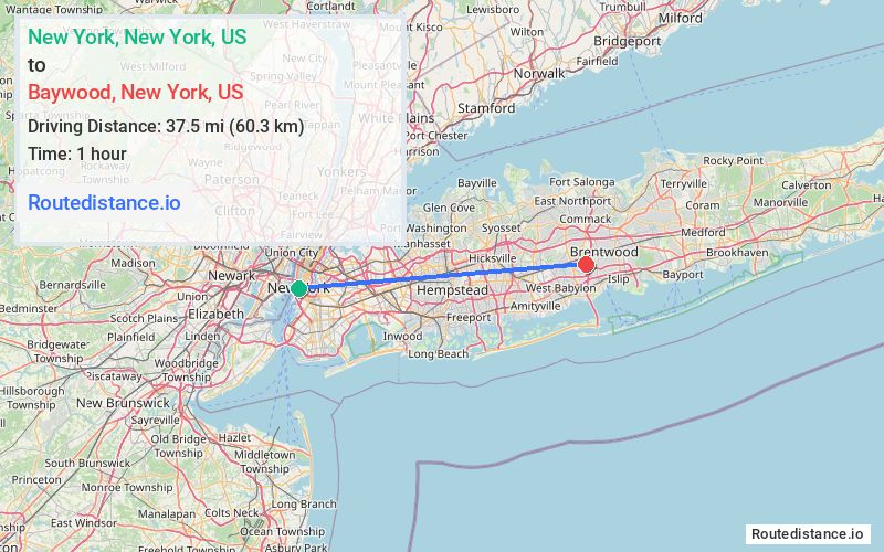
Distance from New York, New York to Baywood, New York
The driving distance from New York, New York to Baywood, New York is 51.8 mi (83.3 km)
The straight-line (air) distance is approximately 23.3 mi (37.5 km)
Estimated travel time by road is 1 hour 15 minutes
This route includes Toll roads along the way.
We found 3 routes between New York and Baywood.
Available Routes
Route Directions
Get on FDR Dr from Frankfort St
Continue on FDR Dr. Take I-495, Grand Central Pkwy, Northern State Pkwy, Wantagh State Pkwy and Southern State Pkwy to Bay Shore Rd in Bay Shore. Take exit 41 N from Southern State Pkwy
Follow Howells Rd to Secatogue Rd in Baywood
Route Directions
Get on Brooklyn Brg from Park Row
Take I-278 E and I-495 E to Pine Aire Dr in Baywood. Take exit S3 from Sagtikos State Pkwy
Drive to Corbin Ave
Route Directions
Get on FDR Dr from Frankfort St
Continue on FDR Dr. Take I-278 E/Bruckner Expy, I-295 S, Cross Island Pkwy and I-495 E to Pine Aire Dr in Baywood. Take exit S3 from Sagtikos State Pkwy
Drive to Corbin Ave
Journey Details
Traveling from New York, New York to Baywood, New York covers 46.4 miles (75 km) in a east direction. This mixed highways and local roads, moderate route typically takes 1 hour 2 minutes under normal conditions.
Drivers have 3 route options between these locations (46-53 miles / 75-85 km). The primary route shown here saves 14 minutes compared to alternatives.
Journey Waypoints
New York
Starting Point
Baywood
Destination
Route Map Image