Distance from New York, New York to Canvas, West Virginia
The driving distance from New York, New York to Canvas, West Virginia is 503.5 mi (810.3 km)
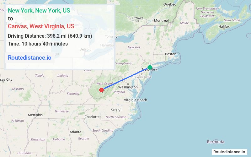
The straight-line (air) distance is approximately 247.4 mi (398.2 km)
Estimated travel time by road is 7 hours 59 minutes
This route includes Toll roads along the way.
We found 2 routes between New York and Canvas.
Available Routes
Route Directions
Take Hudson St and I-78 W to NJ-139 W in Jersey City
Take I-78 W, I-81 S, I-70 W, I-68 W and I-79 S to US-19 S in Braxton County. Take exit 57 from I-79 S
Continue on US-19 S. Drive to Ward Rd in Canvas
Route Directions
Get on NY-495 W from NY-9A N and 10th Ave
Take I-78 W, I-81 S, I-68 W and I-79 S to US-19 S in Braxton County. Take exit 57 from I-79 S
Continue on US-19 S. Drive to Ward Rd in Canvas
Journey Details
Traveling from New York, New York to Canvas, West Virginia covers 503 miles (809 km) in a west direction. This highway, long-distance route typically takes 7 hours 54 minutes under normal conditions.
Drivers have 2 route options between these locations (503-509 miles / 810-819 km). The primary route shown here saves 7 minutes compared to alternatives.
The route features scenic views, toll sections. During midday weekday travel, expect lighter midday traffic with average speeds around 63 mph (101 km/h) .
Journey Waypoints
New York
Starting Point
Canvas
Destination
Route Map Image