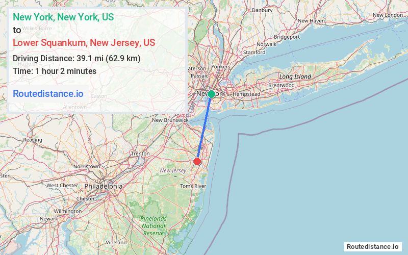
Distance from New York, New York to Lower Squankum, New Jersey
The driving distance from New York, New York to Lower Squankum, New Jersey is 64.9 mi (104.4 km)
The straight-line (air) distance is approximately 24.3 mi (39.1 km)
Estimated travel time by road is 1 hour 16 minutes
This route includes Toll roads along the way.
Route Directions
Get on I-478 from Broadway
Take I-278 W, NY-440 S and Garden State Pkwy S to NJ-34 S in Wall Township. Take exit 98 from Garden State Pkwy S
Take Allenwood Rd and Hospital Rd to Herbertsville Rd in Howell Township
Journey Details
Traveling from New York, New York to Lower Squankum, New Jersey covers 63.1 miles (102 km) in a south direction. This mixed highways and local roads, substantial route typically takes 1 hour 13 minutes under normal conditions.
The route features toll sections. During night weekday travel, expect minimal traffic congestion with average speeds around 51 mph (82 km/h) .
Journey Waypoints
New York
Starting Point
Lower Squankum
Destination
Route Map Image