Distance from New York, New York to Shawnee, New York
The driving distance from New York, New York to Shawnee, New York is 406.4 mi (654 km)
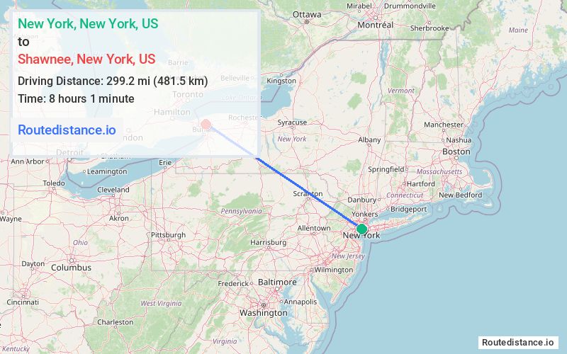
The straight-line (air) distance is approximately 185.9 mi (299.2 km)
Estimated travel time by road is 6 hours 34 minutes
This route includes Toll roads along the way.
We found 3 routes between New York and Shawnee.
Available Routes
Route Directions
Get on NY-495 W from NY-9A N and 10th Ave
Take I-80 W, I-380 N, I-81 N and I-90 W to US-62 N/Niagara Fls Blvd in Amherst. Take exit 3 from I-290 W
Follow US-62 N/Niagara Fls Blvd and NY-425 N/Shawnee Rd to Lockport Rd in Wheatfield
Route Directions
Take Frankfort St and South St to FDR Dr
Continue on FDR Dr. Drive from Palisades Interstate Pkwy N to Highlands. Take exit 18 from Palisades Interstate Pkwy N
Continue to Windsor
Continue on I-86. Take I-390 N to NY-408 N in Groveland. Take exit 7 from I-390 N
Take NY-63 N, Lewiston Rd and NY-93 W to Lockport Rd in Wheatfield
Route Directions
Get on FDR Dr from Frankfort St
Continue on FDR Dr. Drive from Palisades Interstate Pkwy N to Highlands. Take exit 18 from Palisades Interstate Pkwy N
Continue to Windsor
Follow I-81 N and I-90 W to US-62 N/Niagara Fls Blvd in Amherst. Take exit 3 from I-290 W
Follow US-62 N/Niagara Fls Blvd and NY-425 N/Shawnee Rd to Lockport Rd in Wheatfield
Journey Details
Traveling from New York, New York to Shawnee, New York covers 381.6 miles (614 km) in a northwest direction. This highway, long-distance route typically takes 6 hours 28 minutes under normal conditions.
Drivers have 3 route options between these locations (395-417 miles / 636-671 km). The primary route shown here saves 16 minutes compared to alternatives.
The route features toll sections. During night weekday travel, expect minimal traffic congestion with average speeds around 58 mph (93 km/h) .
Journey Waypoints
New York
Starting Point
Shawnee
Destination
Route Map Image