Distance from New York, New York to Wilbanks, North Carolina
The driving distance from New York, New York to Wilbanks, North Carolina is 473.7 mi (762.3 km)
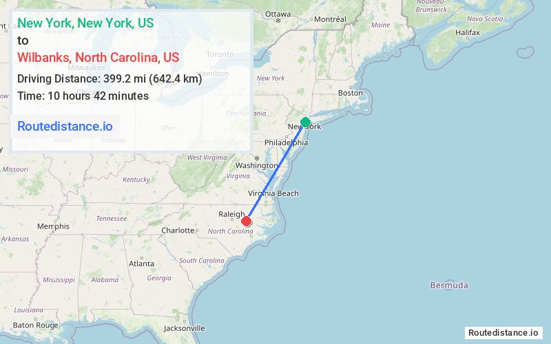
The straight-line (air) distance is approximately 248.1 mi (399.2 km)
Estimated travel time by road is 7 hours 27 minutes
This route includes Toll roads along the way.
We found 3 routes between New York and Wilbanks.
Available Routes
Route Directions
Take Hudson St to I-78 W/New Jersey Turnpike Newark Bay Ext in Jersey City
Take I-95 S/NJ Turnpike S, NJ Tpke S, I-95 S, Baltimore-Washington Pkwy and I-95 S to US-301 BYP S in Rocky Mount. Take exit 468 A from US-64 E
Continue on US-301 BYP S. Drive to Town Creek Rd in Wilson County
Route Directions
Take Frankfort St and South St to FDR Dr
Continue on FDR Dr. Take I-80 W and I-287 S to US-202 S/US-206 S in Bridgewater. Take exit 17 from I-287 S
Get on I-295 W in Lower Makefield Township from NJ-31 S, Harbourton Rocktown Rd, Trenton Harbourton Rd and Taylorsville Rd
Take I-95 S, I-695 N, Baltimore-Washington Pkwy and I-95 S to US-301 BYP S in Rocky Mount. Take exit 468 A from US-64 E
Continue on US-301 BYP S. Drive to Town Creek Rd in Wilson County
Route Directions
Take Hudson St to I-78 W/New Jersey Turnpike Newark Bay Ext in Jersey City
Take I-95 S/NJ Turnpike S, I-276 W, I-76 W, US-222 S, ... and I-95 S to US-301 BYP S in Rocky Mount. Take exit 468 A from US-64 E
Continue on US-301 BYP S. Drive to Town Creek Rd in Wilson County
Journey Details
Traveling from New York, New York to Wilbanks, North Carolina covers 473.7 miles (762 km) in a southwest direction. This highway, long-distance route typically takes 7 hours 27 minutes under normal conditions.
Drivers have 3 route options between these locations (474-530 miles / 762-853 km). The primary route shown here saves 1 hour and 29 minutes compared to alternatives.
The route features scenic views, toll sections. During night weekday travel, expect minimal traffic congestion with average speeds around 61 mph (98 km/h) .
Journey Waypoints
New York
Starting Point
Wilbanks
Destination
Route Map Image